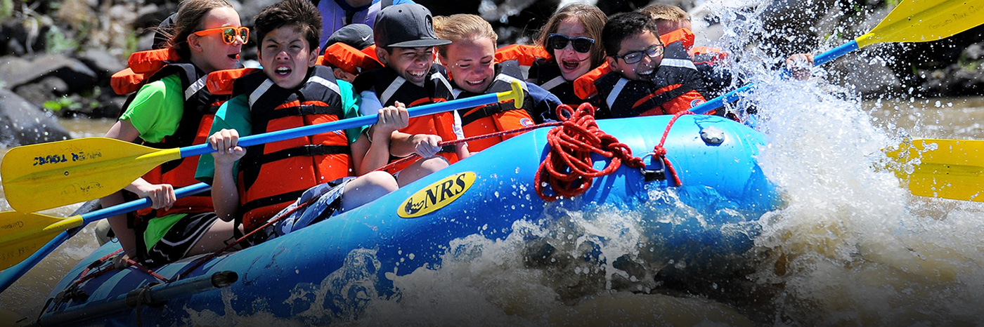
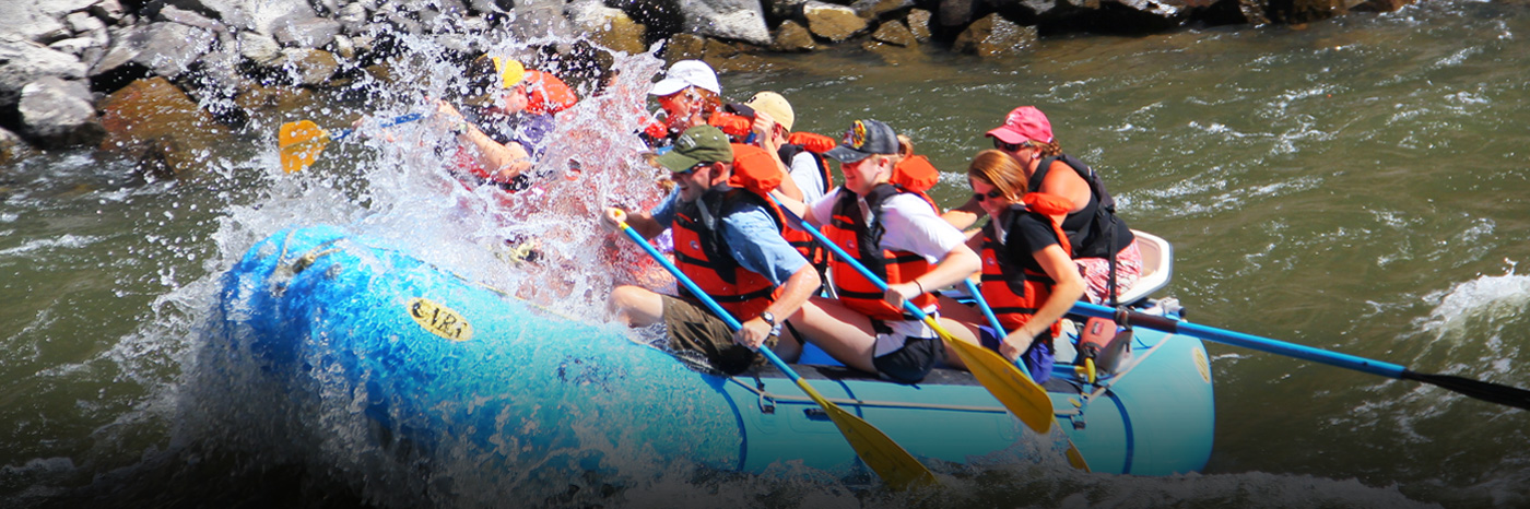
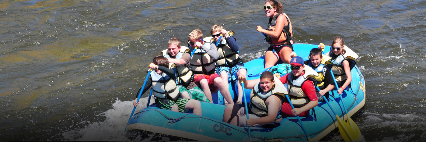


Colorado River runs
Pumphouse-Radium
4 miles class I-III rapids, 1-2 hours depending on water levels
Pumphouse (PH) is the beginning of the floatable section of the Upper Colorado River. Please drive slow on the road in and out of Pumphouse, the dirt road can be a washboarded mess. This put-in & take out is managed by the BLM, fees apply per vehicle depending on your parking needs. $5 includes parking for the day,camping, and launch fees. You can purchase a season pass for $—. There is a fee station about 3/4 of the way in please stop and buy your parking/launch pass. It will cover you all day at ph, rad, sb, and tb but not at rancho. If you choose to reserve a shuttle, the rancho store can set that up for you for $35.00 1-970-653-4431 or www.ranchodelrio.com. There are three launch options: one, two, and three. 1 is typically pretty busy with commercial activity from 9-11am and then again from 1-2pm, this ramp is the furthest up the river. Please be considerate of others & do not rig on the ramp! New for the 2015 season is a whitewater park between launch 1 and 2 providing a nice standing wave; fishermen can avoid this on river right.
Once you launch, there are a few little riffles and some winding flat water until you reach the beginning of Little Gore Canyon. When you reach the entrance of the canyon, you will hit a few class II rapids the first one appropriately named “Wake Up” further ahead on your left you will see a tunnel which was drilled for a failed diversion project. About 100 yards ahead is “Eye of the Needle” A class II-III (water level dependent) at high water 3,000+ cfs the rock is completely submerged and can flip a 16′ raft easily. 3,000 cfs and below you have two options: left or right. Most go right. Watch out for the pourover when you get past the eye! After the eye expect class II wave trains for about 200 yards. The river will then dogleg left and all the water will push you against Mary’s wall on river right. Stay away at all river levels. When you clear Mary’s wall eddy out on river left and check out the old miner’s cabin. Wind through another 1/4 miles and the hot (warm springs) will be river left don’t expect to see it at 2000+ cfs though. Just across from the springs on river right is the famous Jump Rock (just past the “jagged” rocks). Please use caution here and wear your PFD if you choose to jump off. The next 1.5 miles is mostly flat water with a few small riffles. Cottonwood Campsite will be on your left providing numerous shady spots for great camping. River right is single pine and another miners camp for a good lunch spot. Takes out is @ Radium. There is a boat ramp just as you float under the bridge on river left. About 1/4 mile downstream is the second ramp. Radium has good car camping, bathrooms, and a pay phone.
Radium-Rancho Del Rio
6 miles class I-III depending on water levels.
Radium is a BLM regulated site with bathrooms, a pay phone, and car camping with daily fees of—-. There are two different launches; either of which are fine facilities for launching. Please refer to the ph-rdr section for etiquette info. Upon launching, you will find about 2 miles of winding flat water, floating past a few ranches. PLEASE do not trespass, the signs are clearly marked. It will be more than obvious when you get to Red Gorge canyon & you can easily identify the beginning of the rapids by a large square rock on river right. One rapid by the name of Red Eye will meet you in a hurry. It looks deceiving so use caution. The large square rock indicating that Yarmony (or Hoyt depending on who you talk to) rapid appears right around the corner. Take note the rock that forms Yarmony hole at 3000+ cfs is no joke. This will flip a raft and it’s a long cold swim thereafter. At 2000- cfs most stay left of the big rock & back to center. Stay off the right hand shore as there is a big shelf that will send you sailing from the captain’s seat! Within about 100 yards you will find the Island campsite on river left. It’s a tough eddy to catch at higher flows but fret not, there is an eddy on the other side you can tuck into. After the island, there is a short class II rapid with a rock appropriately name “taco”. I don’t think I need to explain why you need to avoid that. Up next is Graveyard Rapid. A short read and run class II with a lot of rock dodging. Shortly thereafter you will find the Benches. I, 2, and 3. All very nice primitive sites with picnic tables and nice side hikes. There are a few other misc campsites one named lone tree for obvious reasons and two miles of flat water aptly named ‘the lakes’. Get ready to move those rowing arms if it’s windy! As far as rapids go for the remainder, you have one, last chance; literately. That is the name of the rapid. An easy read and run class I-II. About a quarter mile away you reach Rancho Del Rio. “Not your Usual resort”. There is a huge beach to derig, leave your stuff for a shuttle, drink a cold one and watch the madness on the weekends.
Rancho Del Rio-State Bridge
4 miles class I-II 1-2 hours depending on water levels.
Oh Rancho….what can I say. It’s a little third world, a little Wild West and an enormous amount of comedy. Rancho del Rio is a private ‘resort’ offering camping, cabin rentals, a small general store, ice cream, vehicle shuttles, parking and most importantly a liquor store! Make sure you check in with Foot the de facto town sheriff for fishing info and other worldly advice. Please make sure you pay appropriate fees for launching and parking. Now, back to the river. This run is all pretty much class 1-II read and run. Nothing real complicated, just a lot of fun. About a 1/4 way through is the first rapid named landslide. Refer to river left. River right there is a good campsite with a huge tree for shade and a nice camping spot with a post indicating its name; pyrite. Further along, expect more class II rapids with the biggest being about 2/3’s through the trip named cable. There is a good lunch beach, camping, and old miners cabins to explore all river left It’s is appropriately marked. Just after cable there is Indian Dick rapid look for the silhouette on river left. From here to State Bridge is the only part that strays from the road until you reach The takeout. There is a short side hike at the confluence of the Piney and the Colorado shortly downstream. As for State Bridge Landing, this place can be a MADHOUSE. Please get on and off the ramp post haste. There is a huge eddy just before the 2 ramps where you can wait if things are busy. The first ramp is dirt which is the “small craft ramp” which rather narrow and steep, the second is a new wider concrete ramp. Between the two is a grassy hill to derig on with posts to tie your boat off. Good times to avoid are 12-1 and 4-6. There is plenty of parking, potable water, bathrooms, changing rooms, trash service and a courtesy phone for 1-800 and local #s.
State Bridge-Two Bridges
4 miles class I-II rapids, 1-2 hours.
Upon launching on river right you will see the State Bridge Lodge. A fun place on the weekends for concerts, cabin rentals, and bluegrass and bloodies on Sundays. Shortly thereafter you will float underneath the road bridge that goes over the Colorado. Stay off the bridge pylons. About 3/4 miles downstream will be Windy Point campground river left. An excellent spot with multiple sites and primitive outhouses throughout. From here it is all read and run class I-II until the takeout. Double pine campground is right before the tiny town of Bond river left. There is a reasonable amount of private property along the way so please do not trespass. As for the takeout, when you get close to the end there will be a long flat water straightaway with a large red rock wall at the end. The river will dogleg right; you will go under one bridge; a second bridge, and then the takeout will be on river right. Don’t miss it. Two Bridges provides a boat ramp, parking, and a courtesy phone. Please stay off the private car bridge spanning the river.
Need equipment to enjoy the river? We have the best deals on rentals in the area. Check them out here.